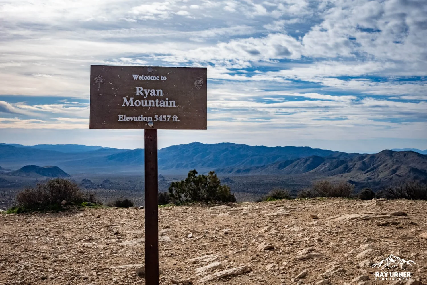
Ryan Mountain
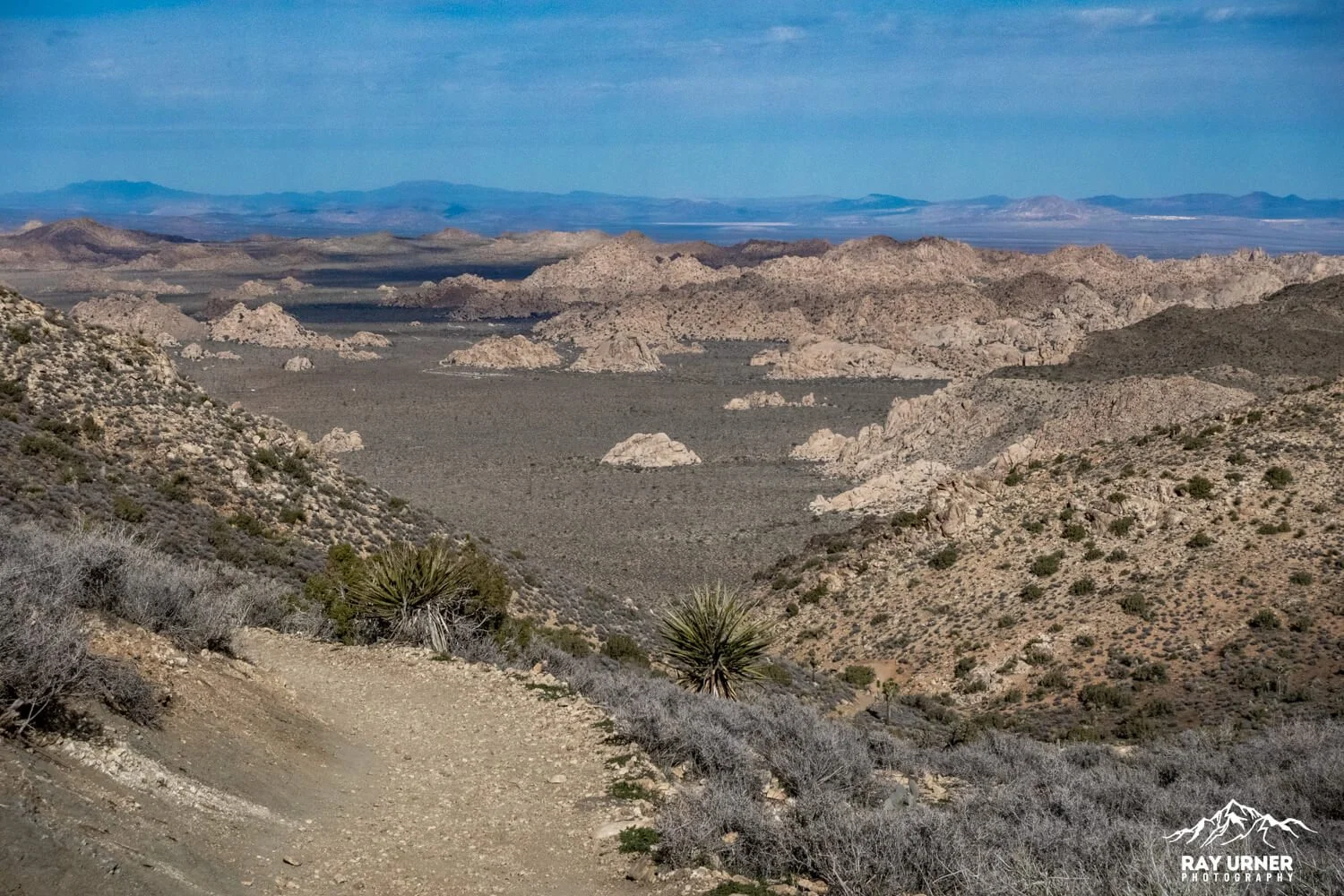
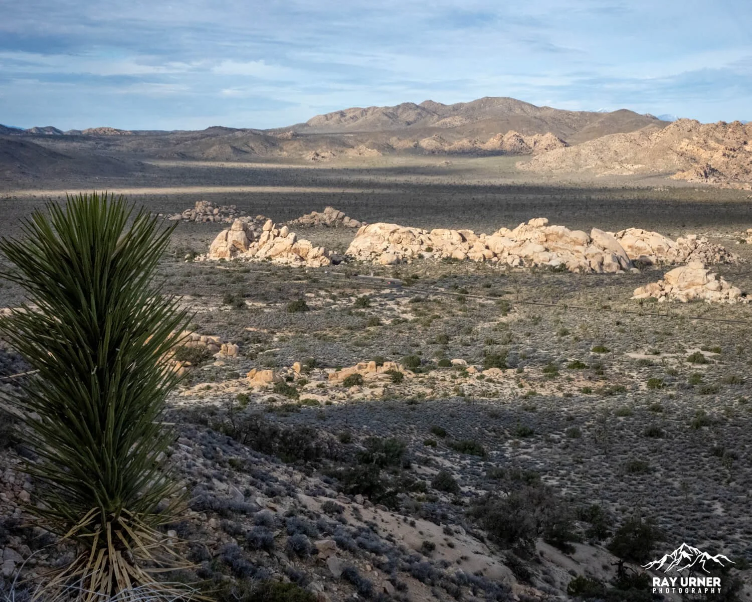
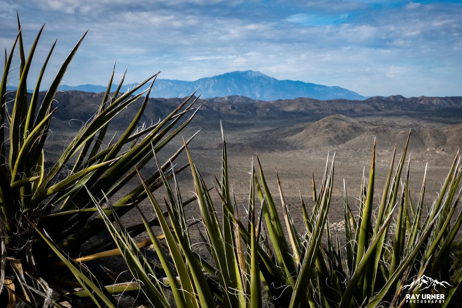
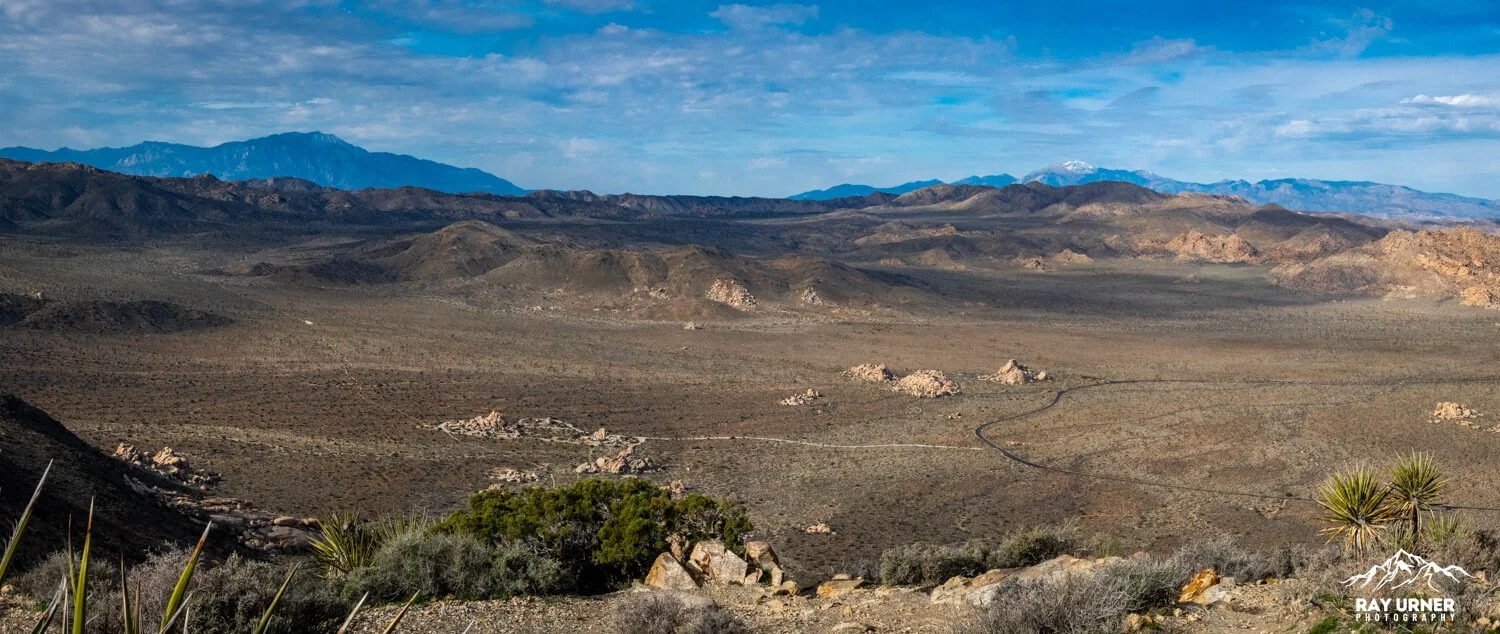
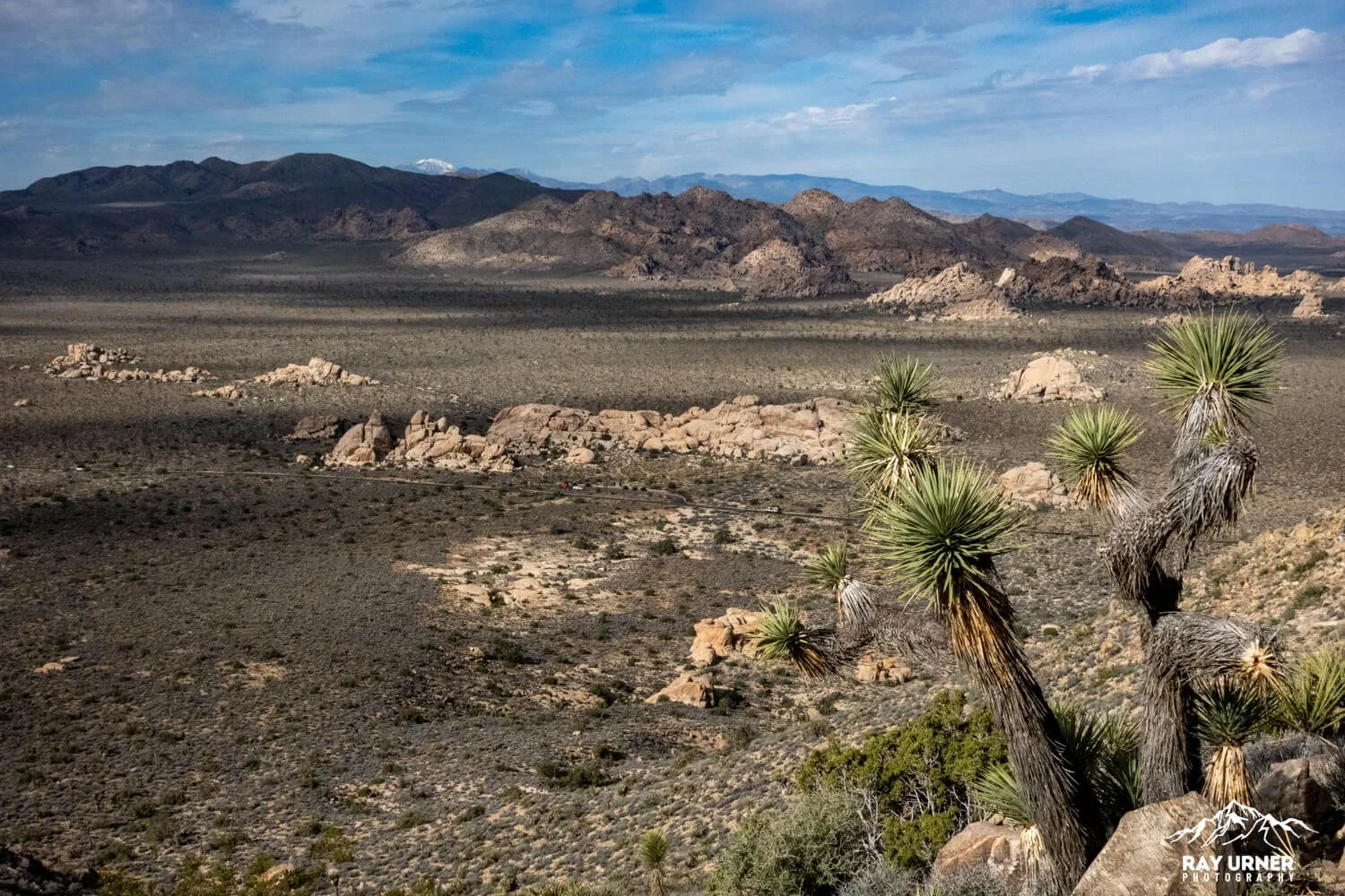
Ryan Mountain delivers the best true summit view in all of Joshua Tree—an enormous 360° panorama stretching across the Wonderland of Rocks, Queen Valley, Pleasant Valley, Lost Horse Valley, and far‑off SoCal ranges. On a clear day, you can even see Mount San Jacinto, Mount San Gorgonio, and sometimes Mexico.
Ryan Mountain Summit — Hiking and Photography Guide
Overview
The Ryan Mountain trail is only three miles long, but it packs a physical punch: relentless elevation, stone stairs, switchbacks, and full exposure make this short route feel epic. It’s the perfect combination of effort vs. reward, and the summit plateau is a dream for photography—open space, layered horizons, clean lines, and a top‑of‑the‑world aesthetic that suits everything from landscape work to environmental portraits.
Quick Facts
Distance: 3 miles round‑trip (out‑and‑back)
Elevation Gain: ~1,050 ft (steep, constant climbing)
Summit Elevation: 5,456
Trailhead: Off Park Boulevard between Ryan Campground & Sheep Pass Campground
Difficulty: Moderate to strenuous due to grade, stairs, and exposure
Time Needed: 1.5–3 hours depending on pace, stops, and photography
Facilities: Bathrooms at trailhead; no water anywhere on the hike
HistoryRyan Mountain is named for J.D. Ryan, an early‑20th‑century rancher and mining operator whose development efforts (including those tied to the Lost Horse Mine) are part of the park’s industrial past. The mountain, long used as a vantage point for navigation and surveying, became a popular recreational climb as the park’s trail systems matured.
Geology
The Ryan Mountain trail exposes some of the park’s oldest and most dramatic rock stories:
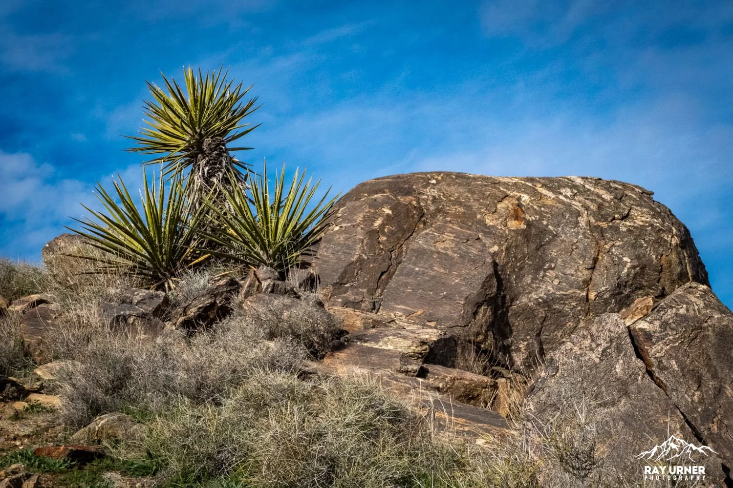
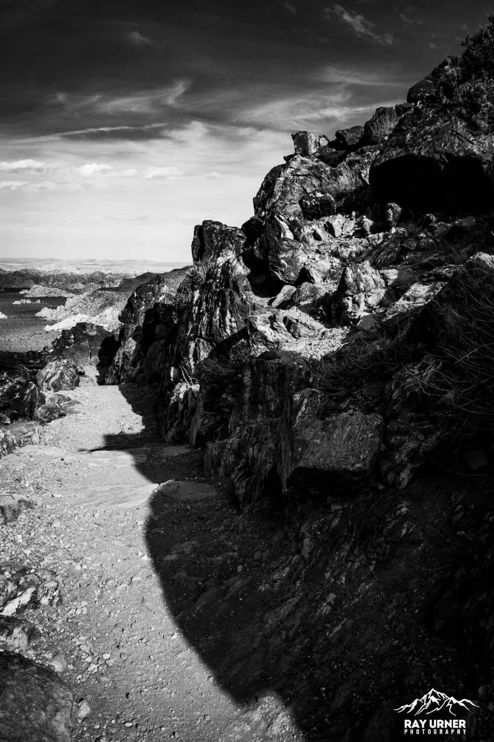
Pinto Gneiss — ~1.8 billion years old
Visible along sections of the trail, the dark‑and‑light banded Pinto Gneiss is the oldest rock type in the entire park—deeply metamorphosed, beautifully striped, and starkly different from the younger monzogranite blocks that define most of Joshua Tree’s landscape.
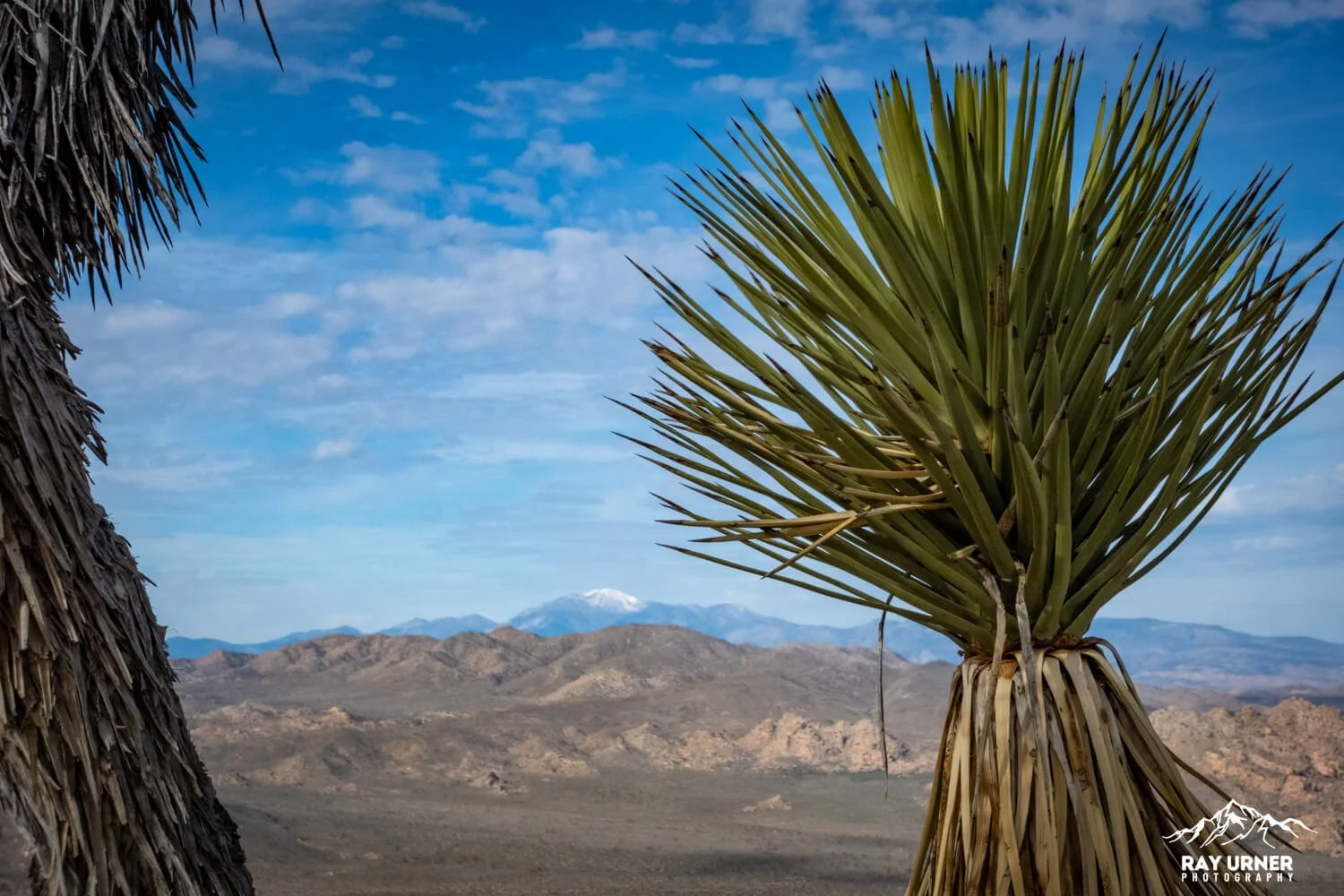
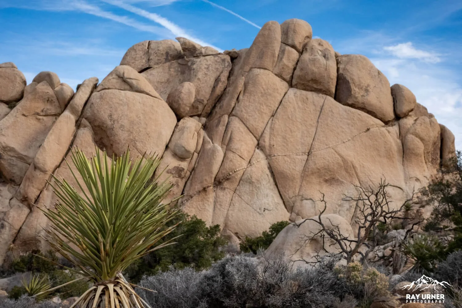
Monzogranite Formations
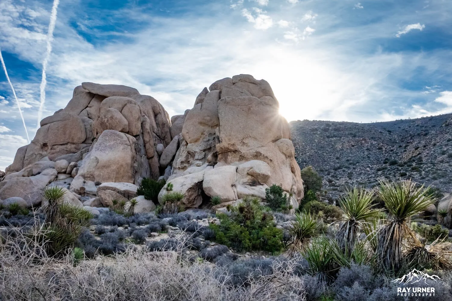
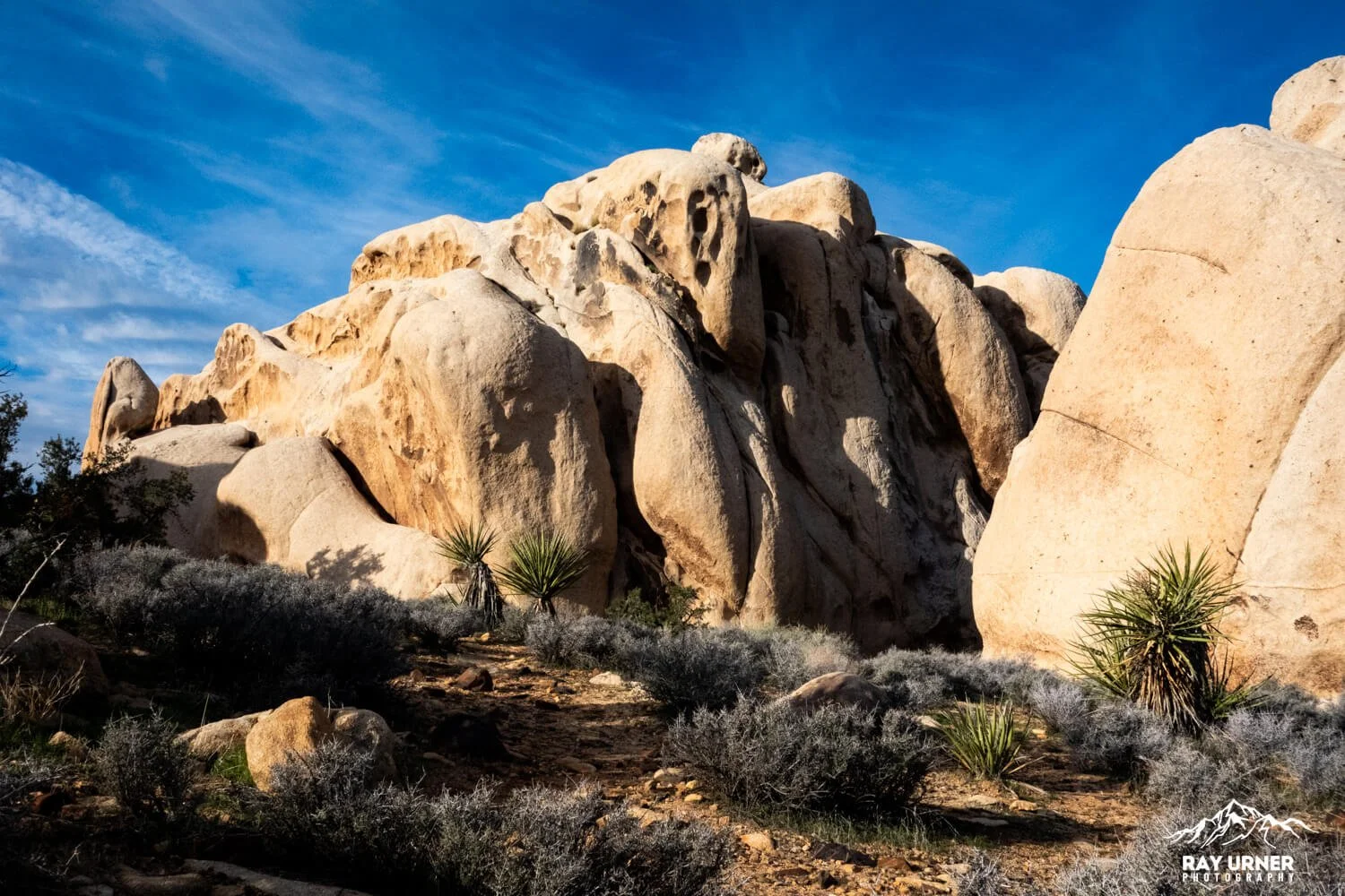
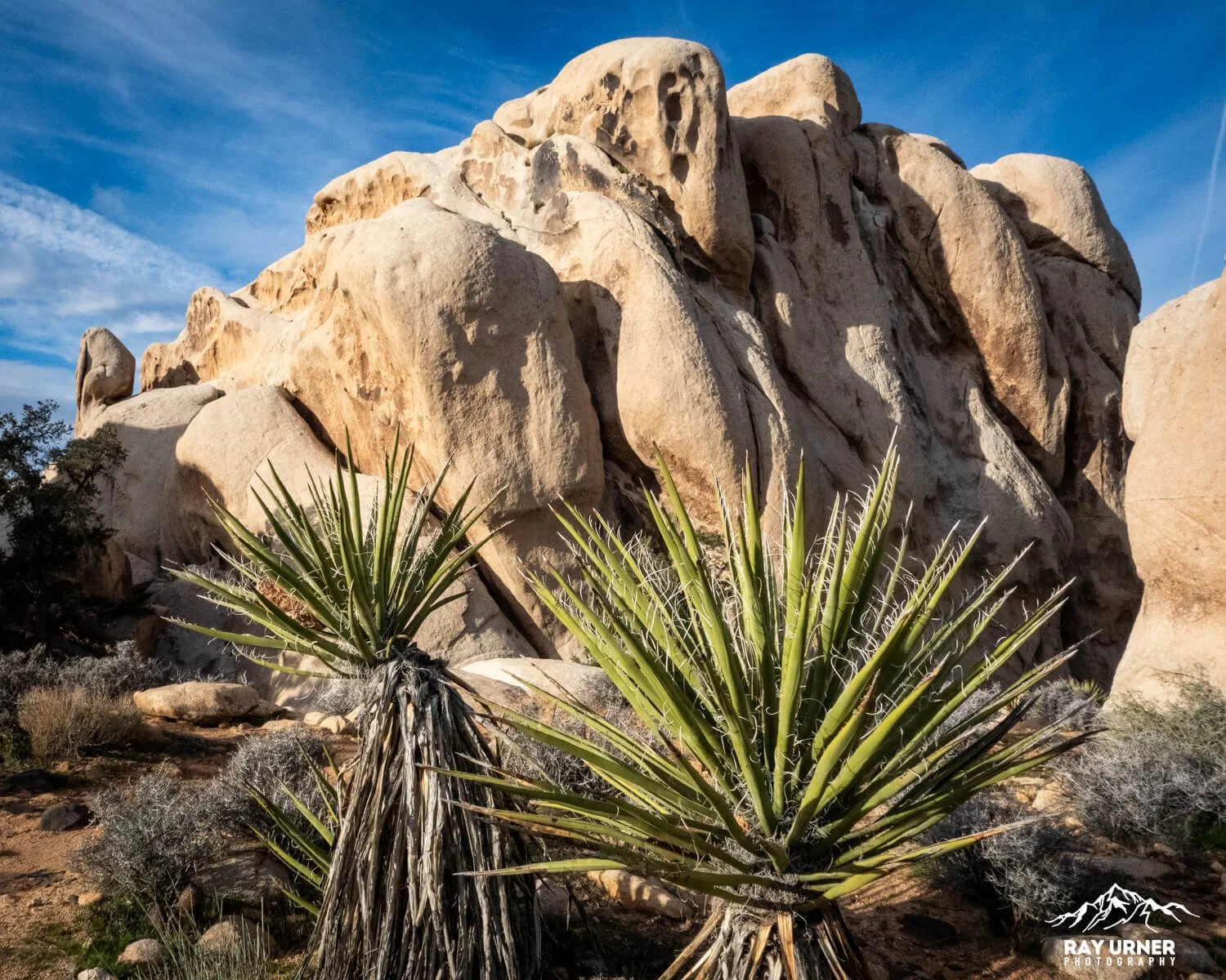
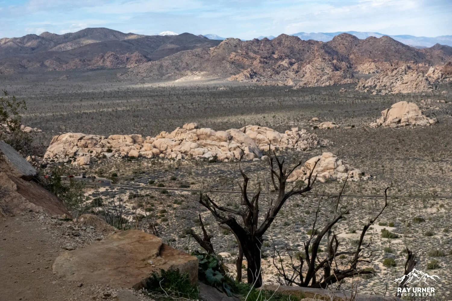
Below the summit, the views open to wide valleys packed with the iconic, pale monzogranite boulders shaped by jointing, exfoliation, and millions of years of erosion. The contrast between the two rock types is striking from higher viewpoints.
Fault‑Shaped Basins
From the summit, you can clearly see structural valleys carved by tectonics and erosion—the same faulting systems that shaped Pleasant Valley, Queen Valley, and the Wonderland of Rocks.
Ecology
As you climb, flora shifts from robust desert scrub into higher‑elevation vegetation:
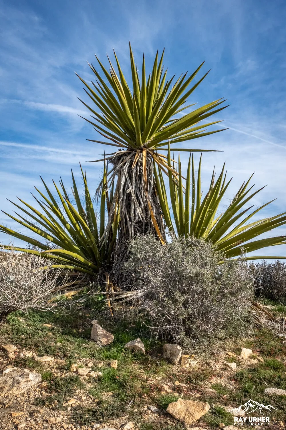
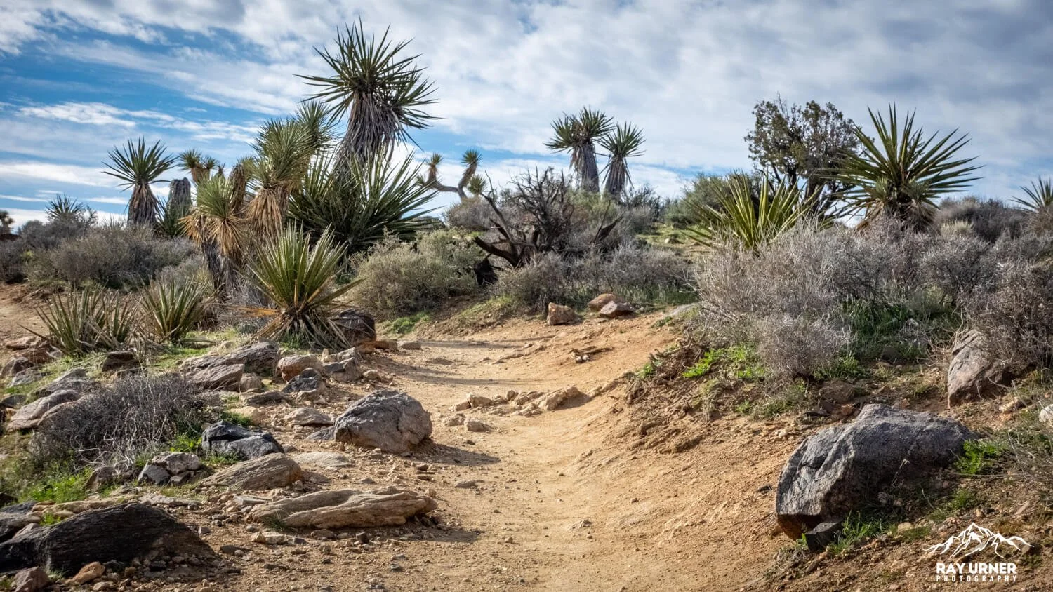
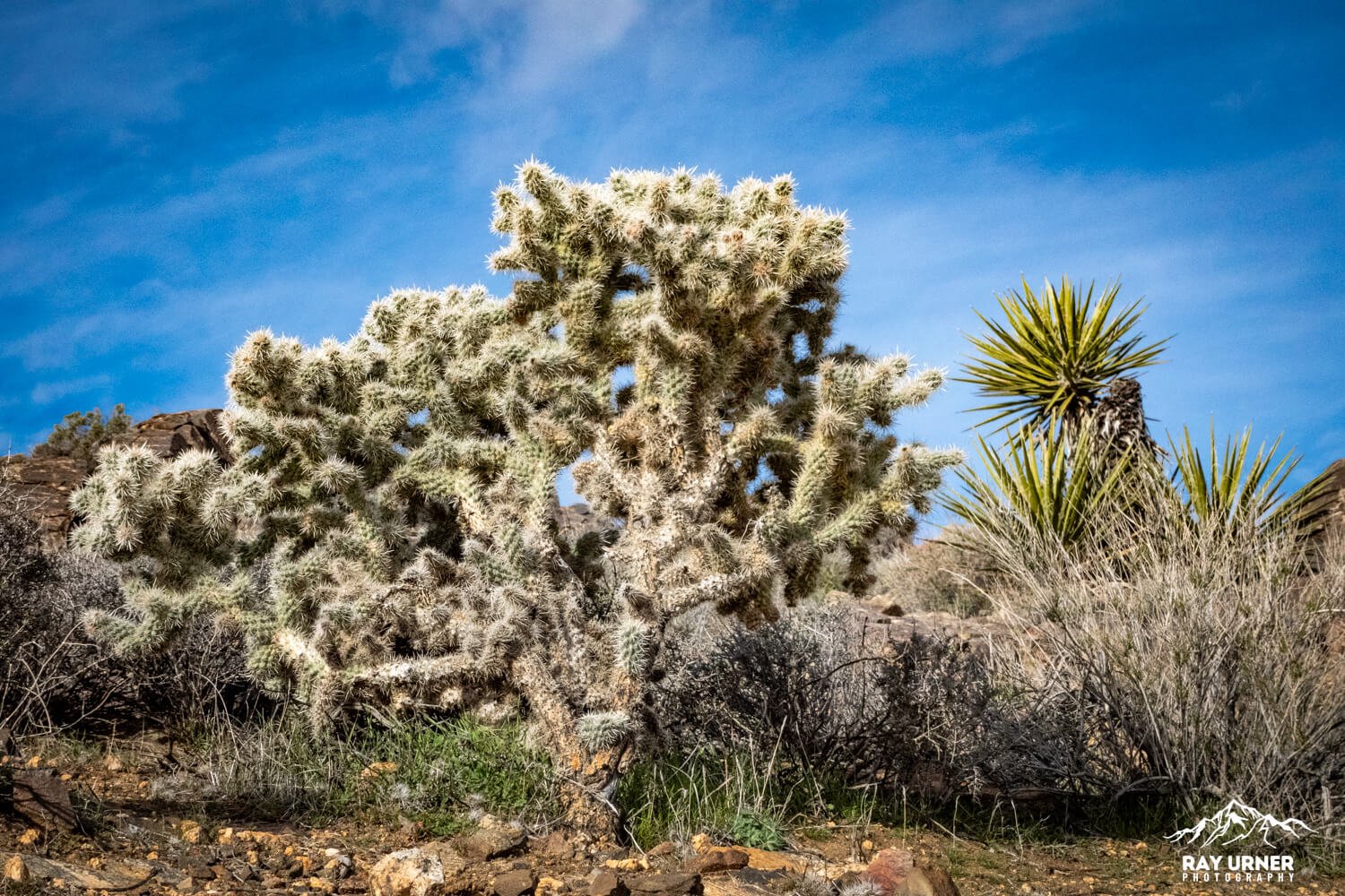
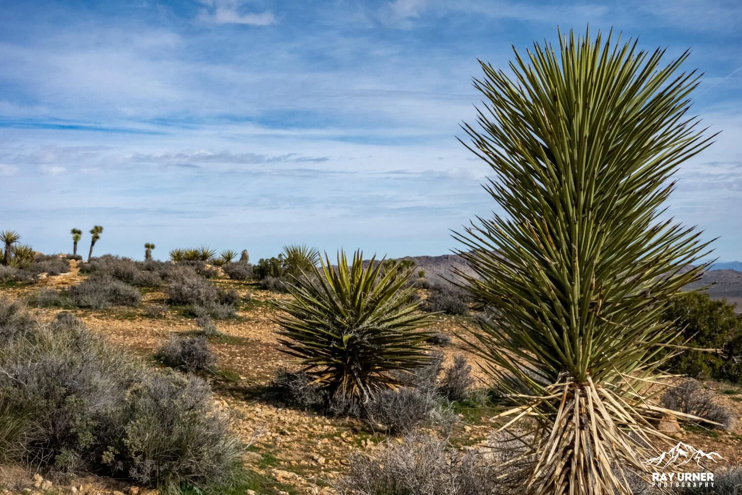
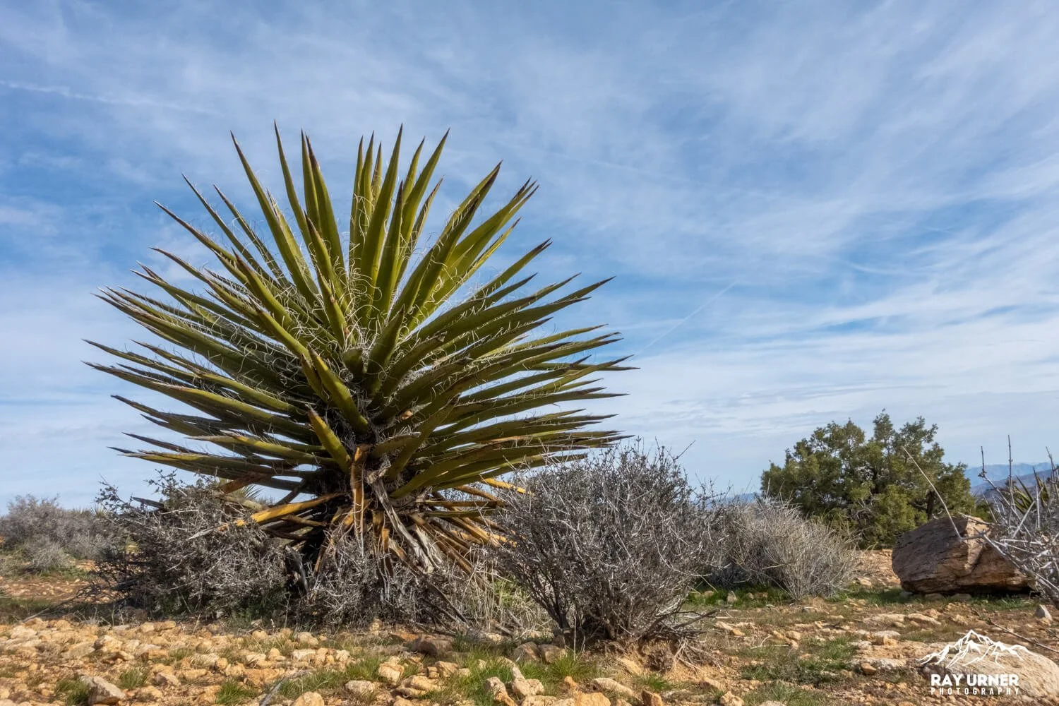
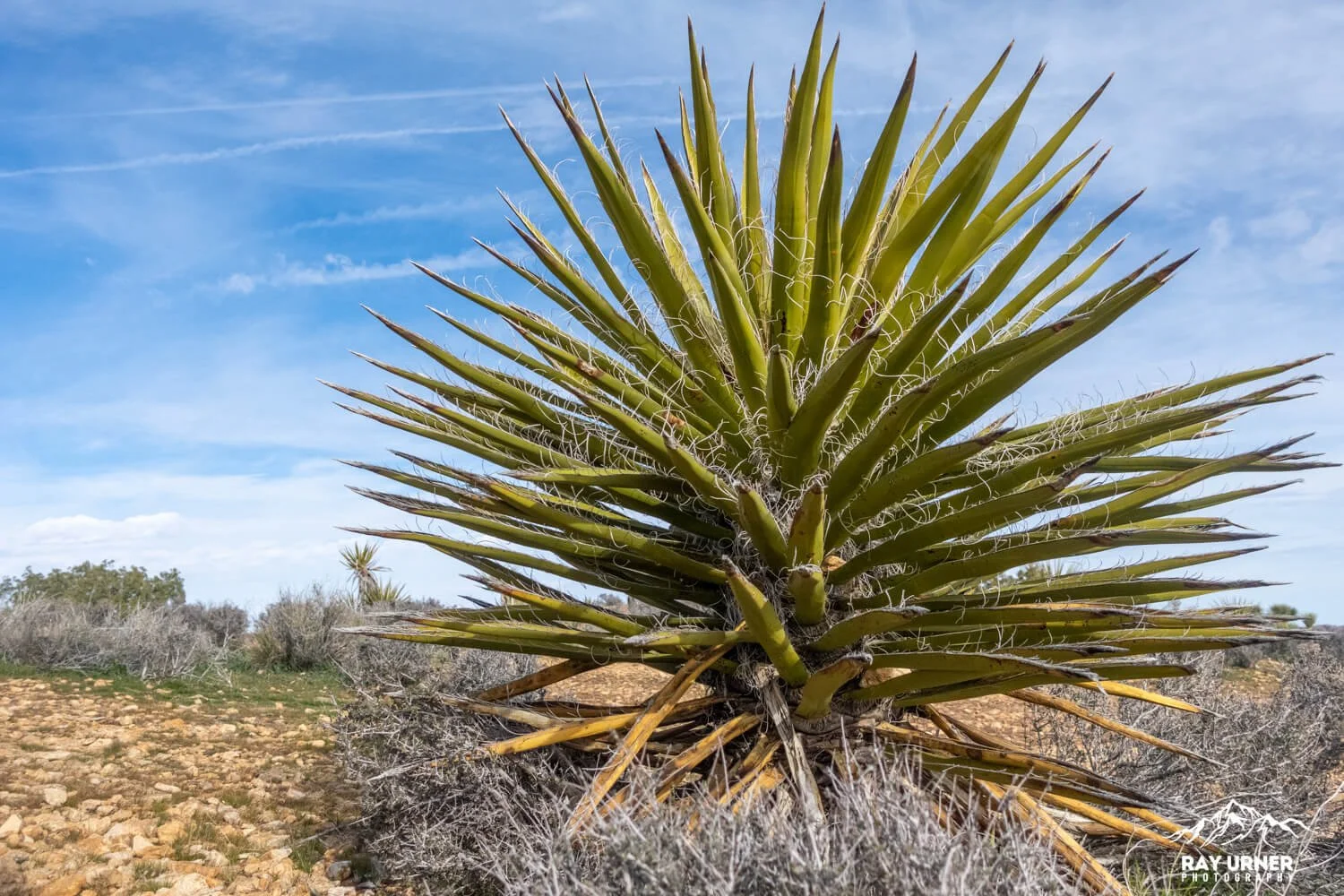
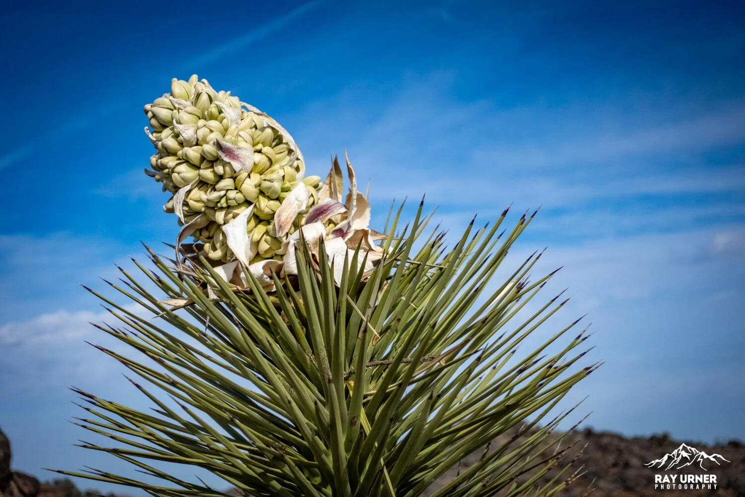
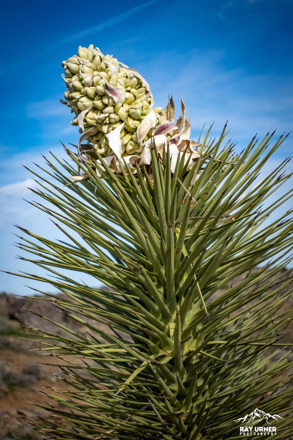
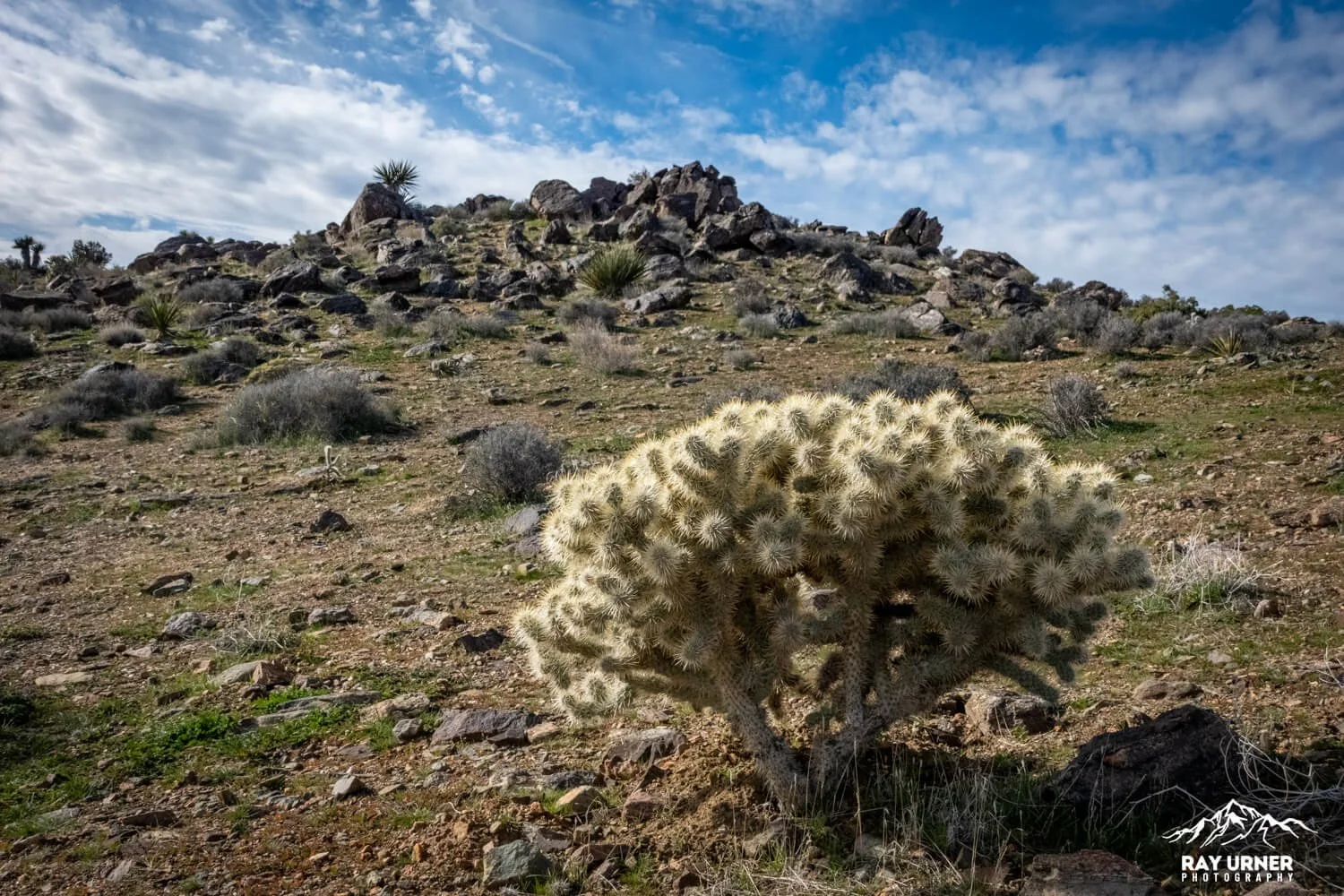
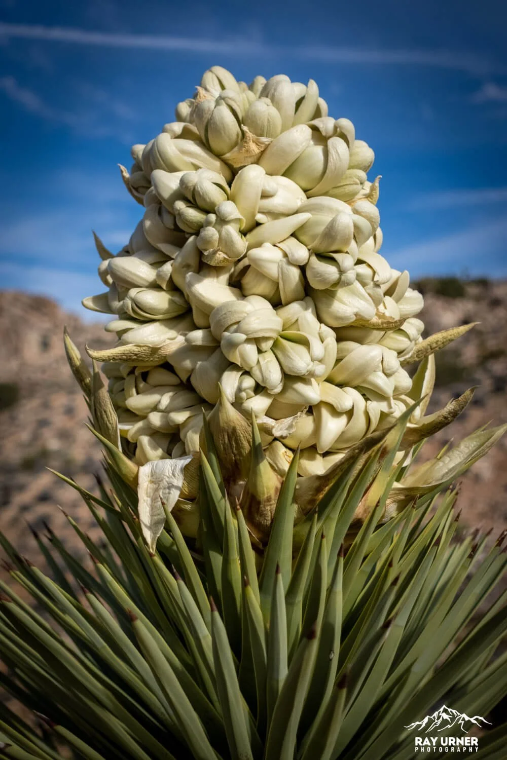
Joshua Trees at lower sections of the trail (classic photo ops)
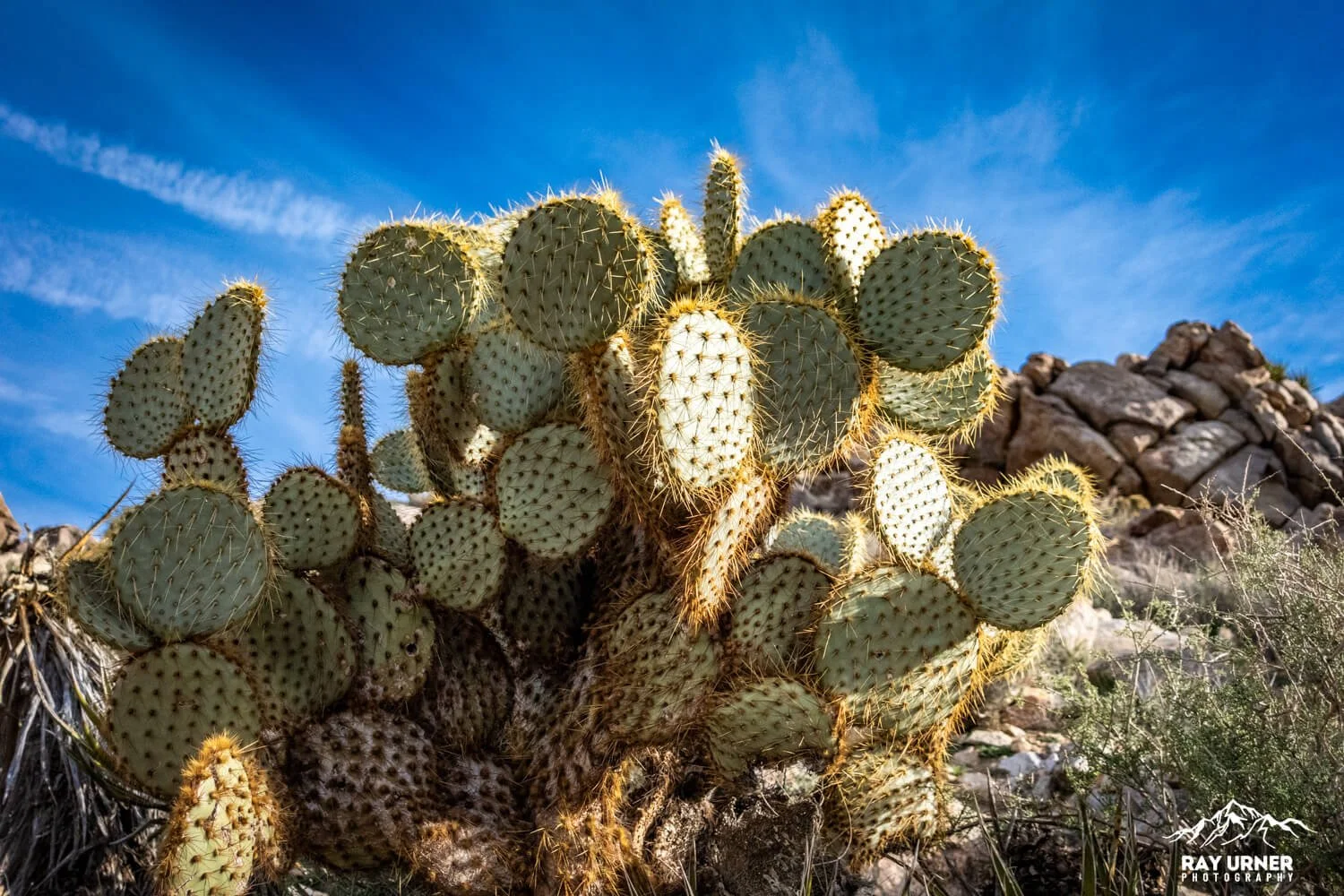
Succulents, cacti, and drought‑tolerant shrubs flanking the path
Lichens, abundant around the summit, thriving on exposed rock surfaces (Ryan Mountain is a hotspot for them).
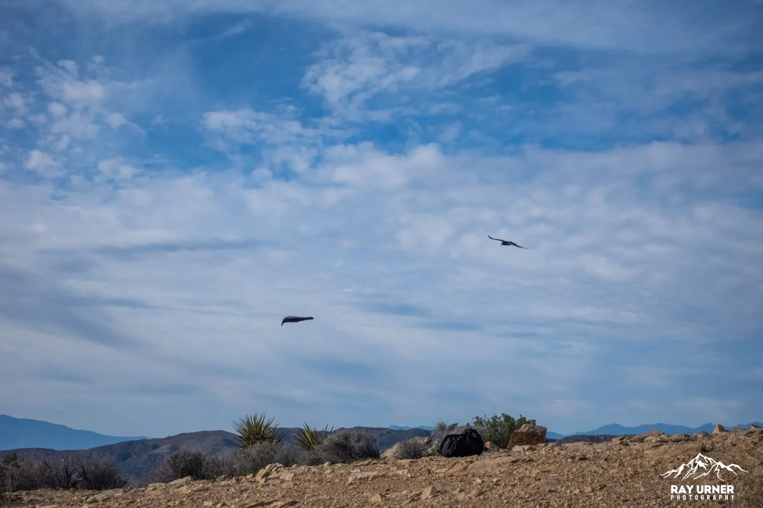
Desert bighorn sheep occasionally appear on slopes during cooler seasons.
Wildflowers sometimes bloom along the trail in early spring, adding texture to foregrounds.
Best Photo Spots
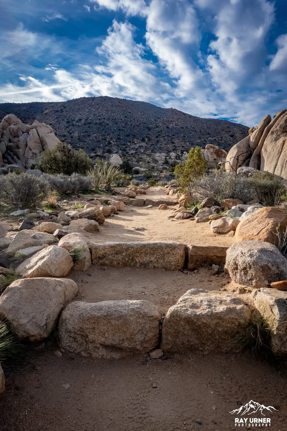
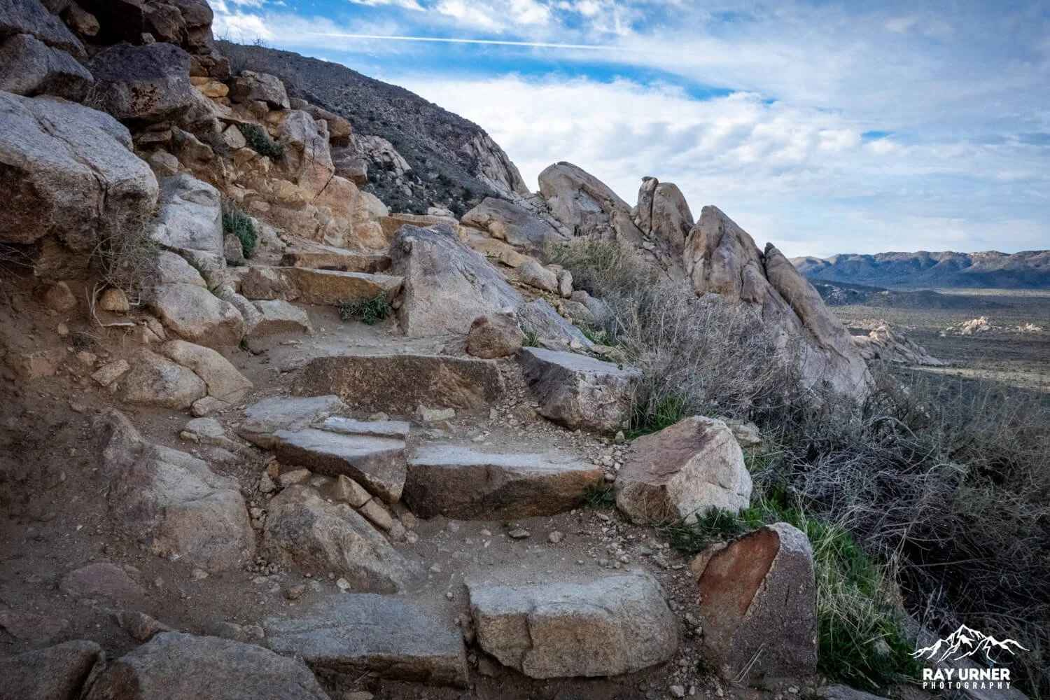
1. The Lower Staircase (Early Vista Reveal)
Within the first 5–10 minutes, stone steps open onto your first panoramic preview.
Great for framing hikers ascending with big valley backdrops.
Shoot 24–70mm to compress the valleys behind them.
2. Mid‑Trail Switchbacks
As the trail carves into the mountain’s shoulder, wide views toward Queen and Pleasant Valleys appear.
Use 14–35mm for sweeping diagonals across the desert floor.
Excellent place to show scale by including hikers above or below you.
3. Pinto Gneiss Outcrops
Distinctive striped metamorphic rock makes a perfect geological close‑up.
35–50mm for detail-with-context; 70–200mm for pattern studies.
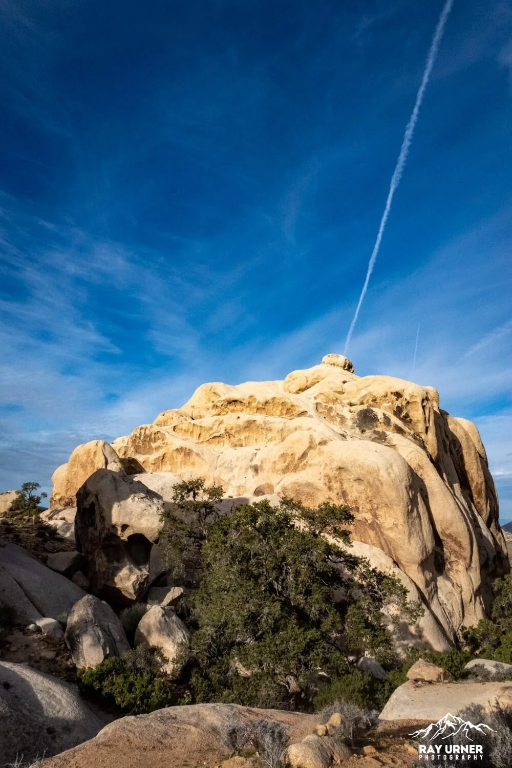
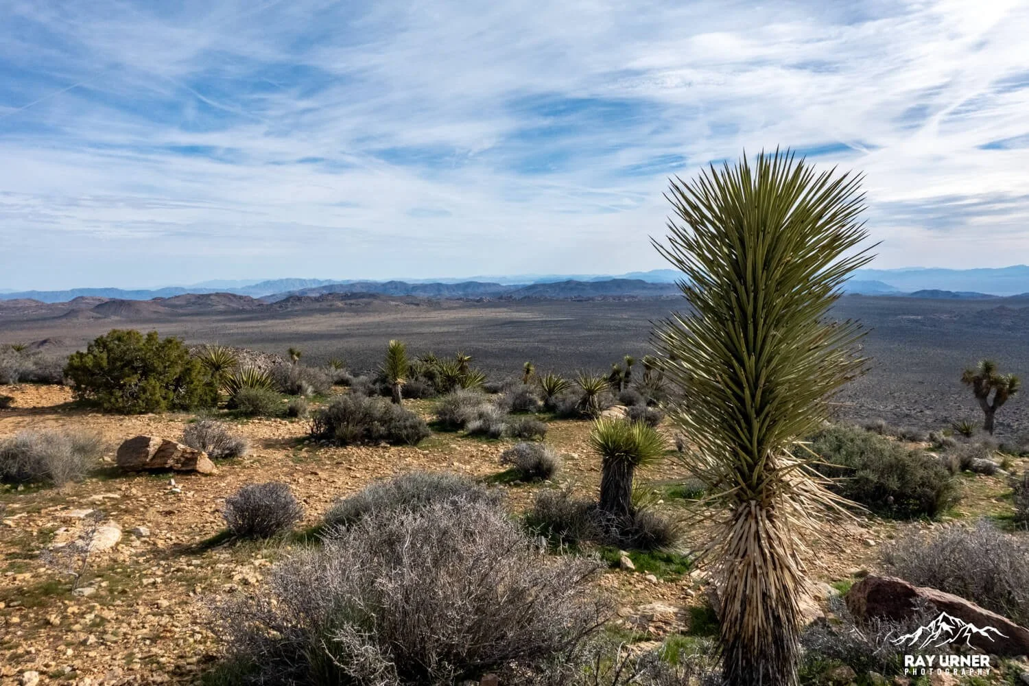
4. The Summit Plateau
Wide, open, and clean—panorama heaven.
Wonderland of Rocks to the north, snowcapped San Jacinto/San Gorgonio to the west and northwest.
Excellent for 14–24mm super‑wides and tripod‑stitched panoramas.
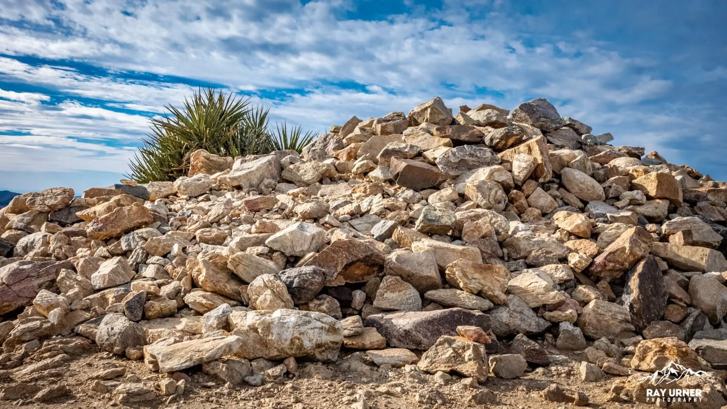
5. Summit Cairn / Rock Pile
A perfect anchor subject for storytelling images at the top.
Works well in midday light thanks to strong shapes and shadows.
Shot List
Wide Summit Panoramas: 360° frames with ultra‑wide lenses.
Hiker Silhouettes: Backlight against the expansive sky on the summit. (I didn’t get to do this shot, but I had the entire summit to myself, so that was a pretty good consolation!
Layered Valleys: Use telephoto compression toward distant ridgelines.
Geology Portraits: Close‑ups of Pinto Gneiss vs monzogranite textures.
Wildlife Watch: If bighorn sheep appear—photograph from distance with telephoto.
Light & Timing
Best time: Early morning for sure. Cooler, fewer crowds, and cleaner atmosphere.
Midday: Still excellent for photography because the summit is all about distance, layers, and clean horizons, which photograph well even under harsh light.
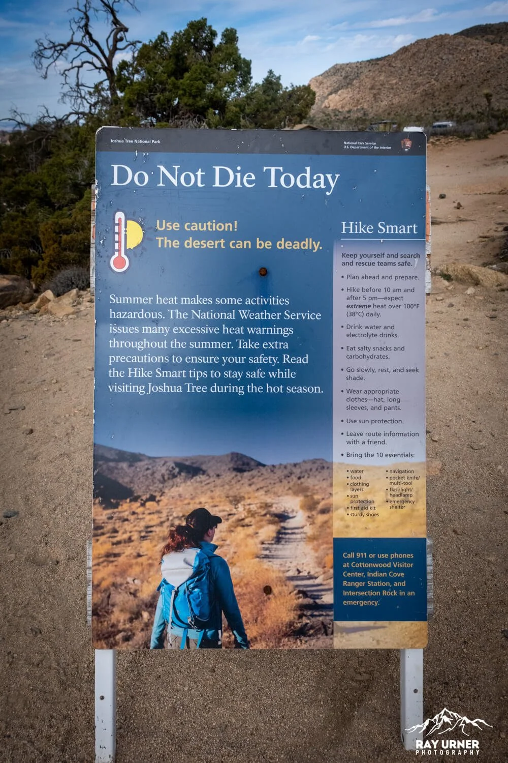
Avoid summer midday: Extreme heat has triggered emergency rescues.
Hiking & On‑the‑Ground Intel
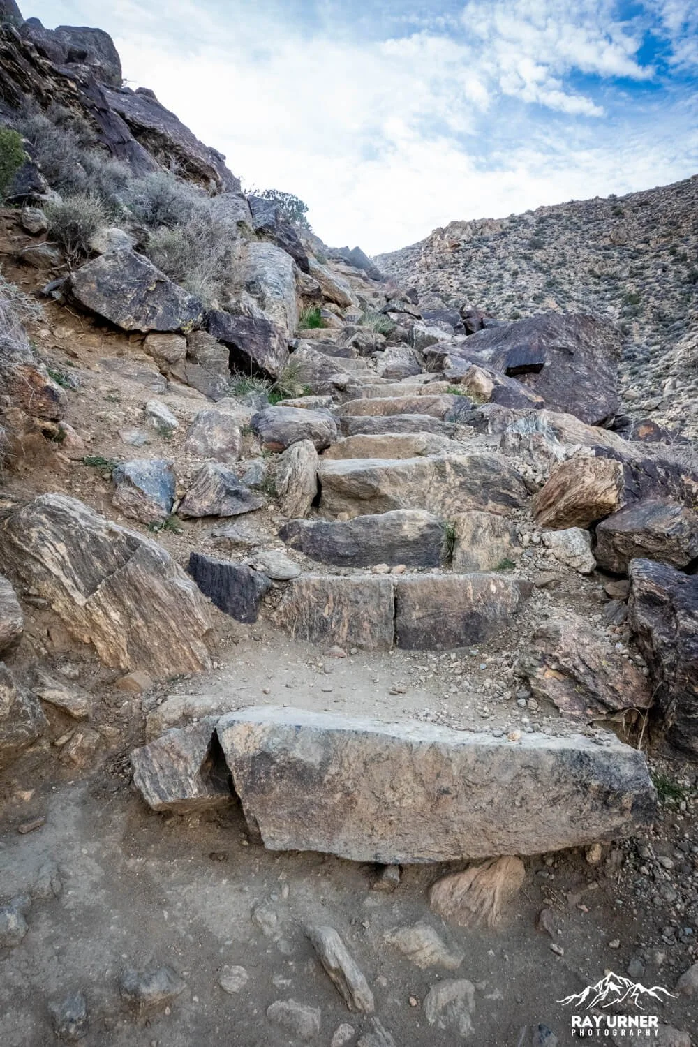
The trail is steep from the start, with long sections of stone steps and rocky footing.
No shade—bring 1–2 liters of water depending on temps, even in winter.
Trail is popular—parking often fills by mid‑morning. Arrive early.
The ascent and descent use the same route; be courteous when passing on narrow sections. Remember, uphill hikers have the right of way!
Logistics
Parking: At Ryan Campground trailhead lot; secondary approach at Sheep Pass for campers only.
Bathrooms: Vault toilets at trailhead (no water).
Permits: Standard Joshua Tree NP pass required for entry - nothing else specific to the hike.
Season: Winter, spring, and fall are ideal; summer heat is dangerous.
Accessibility Notes
Trail is not accessible: steep grade, many stairs, rocky surfaces.
No shade, significant exposure, and no alternate viewpoints for mobility devices.
Pro Tips
Start early—even earlier if you want mountain clarity before haze builds.
Use a windproof layer: Summit winds can get surprisingly cold.
Bring snacks: The summit is an ideal break point with room to roam.
Stay longer than you think: Light changes quickly with altitude; shadows morph across valleys and offer new compositions every few minutes.
FAQs
Is Ryan Mountain worth the effort?
Absolutely. It’s the best true summit panorama in the park.
How hard is it?
Moderate to strenuous—short but relentlessly uphill with stairs and exposure.
Is it safe in summer?
Only early morning. Midday summer heat is dangerous and has caused past rescues.
Can beginners do it?
Yes, with pacing and water—but expect a workout. Families with kids do it regularly. Get your quads and calves ready!